An essential guide for moving to Athol MA
If you are moving to Athol MA, you probably want more than a pin on a map. You want a clear picture of daily life, not just real estate listings. Athol sits in northwestern Worcester County, at the heart of the North Quabbin region. People often start with basic questions. What are the neighborhoods like? How hard is it to find a job nearby? Which schools do local kids attend, and how good are they? Many families also compare different moving companies in Massachusetts while they explore these details. Only then do they look at the numbers. Census data shows a mix of young families, older adults, and working residents, with both children and retirees well represented. This guide walks through those details step by step, so you know what to expect before you move.
Understanding Athol’s location and regional context
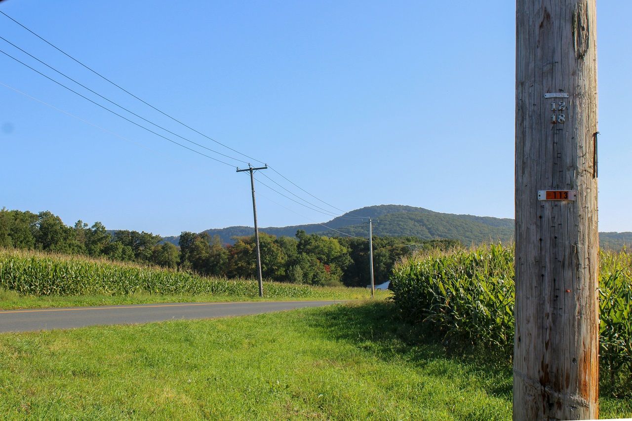
When you look at a map, Athol covers about 33.4 square miles, with 32.6 square miles of land and the rest water. The Millers River cuts right through town, running past downtown and under the Main Street bridges, so you always stay close to the water. Elevation changes a lot, from around 500 feet near the river to about 1,282 feet at Pratt Hill near Bearsden Forest. This matters in winter. Athol sits on the western edge of Worcester County, touching Franklin County, and it borders:
- Royalston
- Phillipston
- Petersham
- New Salem
- Orange

If you are still comparing places, Athol is one of the best towns to live in Western Massachusetts. That North Quabbin label you see on brochures usually means Athol plus those nearby towns. Worcester sits about 36 miles southeast, usually 45 to 55 minutes along Route 2 and Route 2A. Boston lies about 70 miles east, often 90 minutes or more at rush hour. The North Quabbin Chamber of Commerce office at 80 Freedom Street in Athol coordinates many regional programs, so you often cross town lines for work, shopping, and services.
Housing options, neighborhoods, and current market realities
If you care about prices, Athol’s housing numbers stand out immediately. The average home value is around $321,000 to $325,000, while some older estimates still show about $272,000, which mainly reflects earlier years. The median owner-occupied value is around $227,000, and BestPlaces mentions a median home price near $268,900, roughly a quarter cheaper than the national housing average. That range tells you prices climbed quickly after 2020.
Finding a home when moving to Athol MA
Many three-bedroom single-family homes still list under $400,000 , especially older houses near Main Street, School Street, Pleasant Street, and Exchange Street. You will see two- and three-family buildings closer to downtown and Route 2A , plus newer subdivisions near South Athol Road and areas close to the Route 2 interchanges.

A nearby local moving company in Western MA can make short-distance moves between these neighborhoods much easier. There is a high owner-occupancy rate, so rentals feel limited compared with bigger cities. Median gross rent sits around $955, but newer or renovated units often reach $1,500 or more. Some sites also mention furnished or short-term rentals, yet those usually appear only through local agents or regional platforms and disappear quickly. Neighborhood profiles talk about areas like
- Eaglesville
- South Athol
- Town Center
- “The Street”
Each has different lot sizes, house ages, and commuting patterns.
Work, income, and commuting from a small job market
Let’s talk about earning a living. Median household income sits at about $65,458. That sits clearly below the Massachusetts median , which now passes $100,000 in many reports. Per capita income sits around $27,000 , so household budgets rely heavily on two incomes or careful planning.
Athol’s largest name in manufacturing is the L.S. Starrett Company on Riverbend Street, which produces precision tools sold worldwide and still anchors local industry. Athol Hospital, on Main Street, employs clinical and support staff and serves nine North Quabbin towns, including Orange, New Salem, Petersham, Erving, Phillipston, Royalston, Warwick, and Wendell.

Practical considerations for job hunting in Athol
Some employers coordinate relocations and point new hires toward full-service MA moving services when people come from other parts of the state. Beyond that, you see many small employers: grocery stores on Market Drive, auto shops and diners along Main Street, and big-box options in nearby Gardner and Greenfield.
There is a mean commute of around 27 minutes. Most workers drive alone, and households commonly own two vehicles. Does that sound short? It can still feel long on winter mornings, especially when Route 2 backs up or side roads near Bearsden and South Athol glaze with ice.
Cost of living, utilities, and property taxes
Cost-of-living tools give slightly different numbers, but the story stays similar. Athol has a cost-of-living index near 111.5, a bit above the national baseline of 100 but lower than many Massachusetts communities. The median household income is $65,458, and the poverty rate is around 14.4 percent, compared with about 10 percent for Massachusetts overall. That gap shows how tight some budgets feel, even with cheaper homes.

How to deal with the costs of moving to Athol MA?
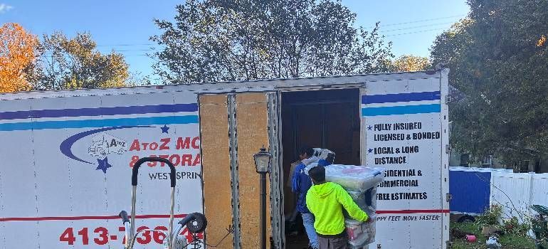
When you plan a budget, it often helps to request several quotes from residential movers in Massachusetts and fold those costs into your total move plan. Housing usually saves you money compared with Worcester, Boston, or the I-495 suburbs, yet utilities can erase part of that advantage. Some tools estimate housing costs roughly 20 percent above national averages and utilities about 30 percent higher, mainly due to winter heating and New England energy prices.
Property tax rates come from Athol’s assessor and tend to sit below those of many Boston suburbs, though they still impact fixed-income households and retirees. When you compare Athol with Worcester or Boston, you often save on housing and parking but pay similar amounts for groceries, healthcare, and running one or two cars year-round.
Weather, seasons, and planning for New England conditions
Athol’s weather shapes almost everything, including how you move and where you live. Long-term climate data shows typical winter lows near 13 degrees Fahrenheit and summer highs around 81 degrees. On most charts, temperatures rarely dip below minus 4 or rise above 89, but short cold snaps and heat waves still happen. Average annual snowfall sits around 52 inches, and the area sees close to 197 sunny days each year. Summer daily highs usually land in the mid-70s, with July highs near 81 and overnight lows around 61. Winter highs often sit in the upper 30s or low 40s, with a lot of cloudy days and freeze–thaw cycles.
November and April can feel especially messy, with rain, wet snow, and muddy shoulders along rural roads. Large, heavy items such as pool tables often require specialized pool table movers in Massachusetts if you schedule a winter move. So when should you plan a move? Many people pick late April through October to avoid the worst snow, even though June and July often book early with moving companies. You still need a backup plan for heavy rain or strong winds, because weather changes fast across these hills.
Things you should know about the school system before moving to Athol MA
If you have kids, you probably check school numbers before anything else. The Athol-Royalston Regional School District serves roughly 1,596 students across four schools:
- Athol Community Elementary School
- Athol-Royalston Middle School
- Athol High School
- Royalston Community School
Recent district data breaks this down to about 589 students at the elementary school, 446 at the middle school, 417 at the high school, and 152 in Royalston. Ratings on education sites show a student–teacher ratio around 13 to 1, which feels reasonable for class size. However, state test proficiency averages hover in the mid-20 percent range for math and reading. Many families see those numbers as an invitation to stay involved and use extra support programs.
Healthcare and services for families and seniors
Healthcare revolves around Athol Hospital on Main Street, a 25-bed Critical Access Hospital that serves nine North Quabbin communities with emergency care, imaging, and basic inpatient services. Families relocating from other states often coordinate their move with long distance moving companies in Massachusetts so school schedules and medical care line up smoothly. For specialized treatment, residents often drive to
- Worcester
- Springfield
- Boston
Assisted-living facilities and senior housing appear in Athol and neighboring Orange. However, availability, room types, and monthly rates change often, so families usually confirm details through Massachusetts eldercare directories and local social services before making decisions.
Getting around town: Driving, transit, and commuting
Transportation in Athol feels very car-focused, and statistics back that up. Average commute times are around 27 minutes. This a little below the Massachusetts average near 29 minutes but still a real daily chunk. Most people drive alone to work, and the typical household owns two cars.
- Route 2 runs east–west just south of town, carrying drivers toward Fitchburg, Leominster, and eventually Boston in one direction, and toward Greenfield in the other.
- Route 2A passes through downtown, while Routes 202 and 32 link Athol with Petersham, Barre, Royalston, and New Salem.
- MART buses connect Athol with Gardner and Fitchburg, but schedules feel limited compared with city systems. Many riders plan carefully around a few key runs and transfers.
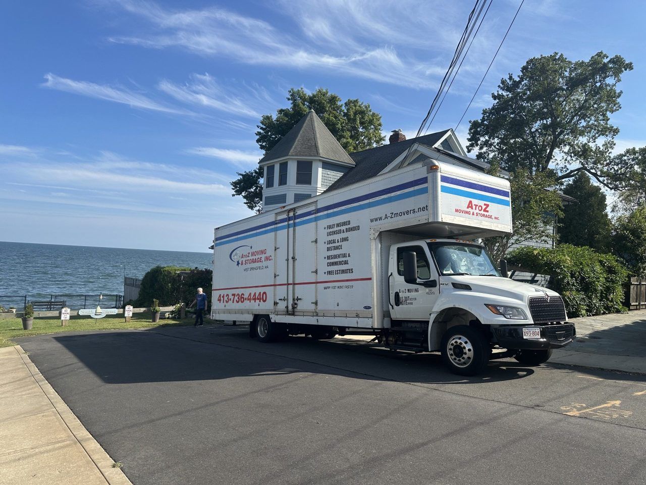
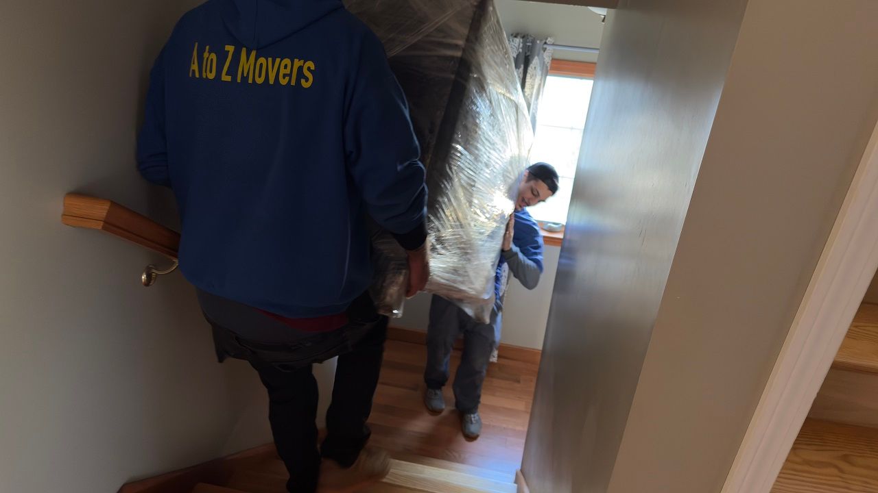
- For in-town relocations, many households choose local movers in Athol MA, who already know the tricky streets, hills, and winter parking rules.
- Parking downtown around Main Street and near Lord Pond Plaza usually stays manageable outside major events, though winter parking bans change overnight rules. Higher-elevation streets near Bearsden, South Athol, and Newton Reservoir can feel slippery after storms, so winter tires and early plowing matter.
Parks, outdoor options, and weekend activities
If you like being outside, Athol gives you plenty to work with. Bearsden Conservation Area includes over 951 acres in 14 town parcels and links to other protected land. This creates an interior forest block of more than 1,500 acres of woods and wetlands. The area stretches from parts of South Royalston and Phillipston down toward Athol along a rugged bend of the Millers River. Hikers can choose from roughly ten miles of marked trails, with some longer loops gaining around 1,100 feet over the course of the walk.

Closer to downtown, Alan E. Rich Environmental Park sits near 10 Main Street , by the Millers River Bridge. It offers:
- short loop trail
- picnic tables
- fishing spot
- car-top boat access for canoes and kayaks
Families often use playgrounds near schools and the uptown common for quick outings . One of the biggest annual events is the Athol–Orange River Rat Race, a 5.2-mile canoe race from Alan E. Rich Environmental Park to Riverfront Park in Orange, which brings more than 200 boats and a parade along Main Street every April. Summer concert series such as “Tool Town Live” and community events at the Millers River Environmental Center round out weekend options.
Safety, neighborhoods, and town services
Safety concerns shape many moving decisions, so it helps to look closely at the numbers. Athol’s total crime rate is below the national averages, but not uniform across the town. Total crime around 12 incidents per 1,000 residents, with violent crime roughly 4.4 and property crime about 7.6 per 1,000.
Assault figures sit a bit higher than national averages, while burglary and theft sit lower. Neighborhood profiles mention areas such as Town Center, Eaglesville, South Athol, and The Street as distinct pockets worth comparing for lighting, traffic, and building types. Town government operates from Athol Town Hall at 584 Main Street, where you find the Town Manager, Selectboard, and public works offices. Public works handles snow removal, road maintenance, and trash collection, all of which matter a lot during heavy winter storms.
Practical tips for moving to Athol MA
Actual moving day in Athol can feel very different from a city move. The town’s 33.4 square miles include many narrow, hilly, or dead-end streets, especially near conservation land, reservoirs, and older neighborhoods. Roads around Bearsden Conservation Area, Newton Reservoir, and sections of South Athol Road sometimes challenge large trucks with tight turns and limited turnaround space. Downtown multifamily buildings on Main Street, Exchange Street, School Street, and Chestnut Hill Avenue often have shared driveways, small parking lots, or street parking, so movers need exact instructions for loading zones and stair access.

Weekday moves usually cost less and avoid conflicts with events like the River Rat Race, Summerfest gatherings at Lord Pond Plaza, or parades on Main Street. Winter moves between December and March can bring extra charges for shoveling, sanding, and delays, given the area’s average 52 inches of snow and frequent freeze–thaw cycles. Before you arrive, it helps to set up:
- electricity
- heating fuel accounts
- internet service
- vehicle registration
- driver’s licenses with the Massachusetts RMV
Deciding if moving to Athol MA fits your plans
Deciding on moving to Athol MA means balancing concrete strengths and clear tradeoffs. Housing costs tend to stay lower than many Massachusetts markets, yet incomes and local job options also sit lower than state averages. Commute times around 27 minutes and heavy car use push transportation costs higher than numbers suggest. Schools and healthcare resources exist close by, but you may still travel to Worcester or Boston for specialized support. On the other hand, extensive conservation land, the Millers River, and community events provide many low-cost activities.